GIS & RS field trips by 2nd year wildlife students to DRSRS, KWS and ICPAC
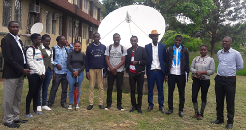
Our Bachelor of Wildlife Management and Conservation degree 2nd year students undertaking the Remote Sensing (RS) and Geographic Information System (GIS) course unit administered by the Department of Clinical Studies, College of Agriculture and Veterinary Sciences (CAVS), University of Nairobi, participated in three separate GIS and Remote Sensing visits in the month of November 2019 to: the Directorate of Resource Surveys and Remote Sensing (DRSRS), Kenya Wildlife Service (KWS) and IGAD Climate Prediction and Applications Centre (ICPAC).
The main aim of the trips was to provide them with practical experiences on the real world, every day geospatial aspects of RS and GIS, career development and opportunities for attachment and internship.
They also conducted practical lessons at each of the four research divisions of DRSRS, namely: Ground Surveys, Remote Sensing, Data Management and Aerial Surveys.
At ICPAC they learnt about the Global Monitoring for Environment and Security (GMES) and were given practical lessons infused with anecdotes on real life experiences on the geospatial aspects of GIS and Remote Sensing.
At KWS, they learnt the mandate of KWS in line with wildlife management and conservation in Kenya.
- Log in to post comments